 Copilot AI
The program is free and based on open-source code, and is used professionally by government agencies, researchers, companies, and journalists. QGIS is opened globally around 20 million times each month, and the number of users has steadily increased in recent years.
In June 2025, the international QGIS User Conference was held in Norrköping, where around 300 participants from 37 countries gathered for presentations, workshops, and discussions about the future of GIS technology. A tradition is that the host city of such a developer meeting lends its name to an upcoming version

— and that version was released in March 2026.
At Linköping University, GIS and geodata are used in several research fields. Researchers such as Andreas Kerren, Kostiantyn Kucher, and Katerina Vrotsou work on methods for analyzing and visualizing complex data, where map information often plays a central role.
Researcher Erik Telldén has also worked on projects where geodata is linked to digital urban environments. One such project is Norrköping’s digital twin Visual City, a three-dimensional model where urban data can be projected and analyzed. This type of visualization often relies on geodata that is first processed in GIS tools like QGIS.
The fact that the new version of the software bears the name Norrköping connects LiU’s research in visualization and geodata with one of the world’s most widely used open tools for map analysis.
QGIS 4.0 Norrköping primarily represents a technical modernization of the software and is built on an updated graphics component platform. This provides better performance and makes it easier to develop new features in the future. This version also includes several improvements related to the handling of so-called point clouds.
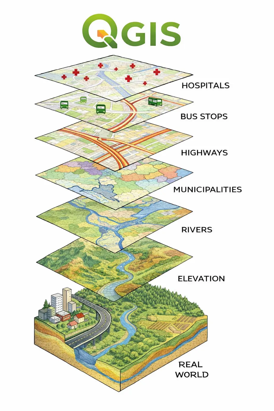
A schematic illustration of how QGIS can display various facts about a surface on Earth.